
Bruges Canal
Medieval waterways that made Bruges the Venice of the North.
The canals of Bruges — locally called reien — are the veins of one of Europe's best-preserved medieval cities. Bruges built its fortune in the 13th and 14th centuries as a leading trading hub of the Hanseatic League, and its waterways were the arteries of that commerce, connecting the city to the sea and to merchants from across Europe. When trade eventually shifted to Antwerp, Bruges was essentially frozen in time, and those same canals survived largely intact. Today they wind through a city of step-gabled guildhalls, stone bridges, and weeping willows, offering one of the most cinematic urban landscapes on the continent.
The main experience here is simply being beside the water — or better yet, on it. Boat tours depart regularly from several jetties around the city center, particularly near the Dijver and Rozenhoedkaai, and give you an entirely different perspective on the medieval architecture that lines the banks. The Rozenhoedkaai — the quay of the rosary — is arguably the most photographed corner in Belgium, where a bend in the canal frames the Belfort tower with willow branches overhead. On foot, the towpaths and canal-side streets like Groenerei and Langerei take you past belfries, almshouses, and small stone bridges into quieter residential neighborhoods where tourists rarely venture.
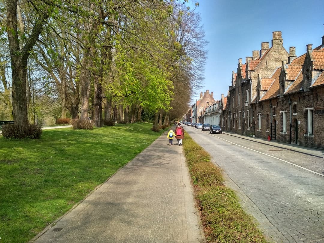
The canal identified by this address connects Bruges to Ostend and the coast, which gives it a slightly different, less-touristed character than the inner-city waterways — wider, calmer, and without the boat-tour traffic. For the classic canal experience in the historic core, head to Rozenhoedkaai or the Minnewater (the Lake of Love) in the south of the city. Go in the early morning if you can — the light is extraordinary, the crowds haven't arrived, and the reflections on the water are at their sharpest.